With the launch of its centimeter-precision drone platform today, PreNav is bringing quadcopter flight into highly technical arenas, both outdoors and in.
Most quadcopters now are equipped with GPS for position stability and to autonomously following pre-set flight-paths. And that system works well for most purposes — some of the latest flying machines can lock onto a spot and hold position with surprising tenacity, even allowing for relatively steady aerial time-lapse video captures. But on the GPS platform, there are still at best a couple feet of wiggle room, making it difficult to carefully fly close to sensitive or dangerous equipment.
To overcome that, San Carlos, California based PreNav has developed a totally new guidance system for its upcoming drone platform, allowing an operator to place a quadcopter with exactness only previously seen in motion capture-equipped research laboratories.
Instead of tracker cameras placed in the corners of a room, the PreNav system uses two components: their own drone platform and a tripod-mounted ground station. The station does an initial laser scan of a structure that the pilot wants to fly around, then creates a 3D point cloud and prepares the drone’s flight path around it. After a manual review, the drone is launched and controlled in space by the ground station’s tracking and positioning tools, communicating at 100 times per second — much faster than GPS — to ensure accurate positioning at the centimeter level they’re boasting.
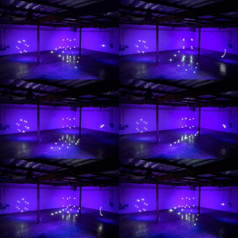
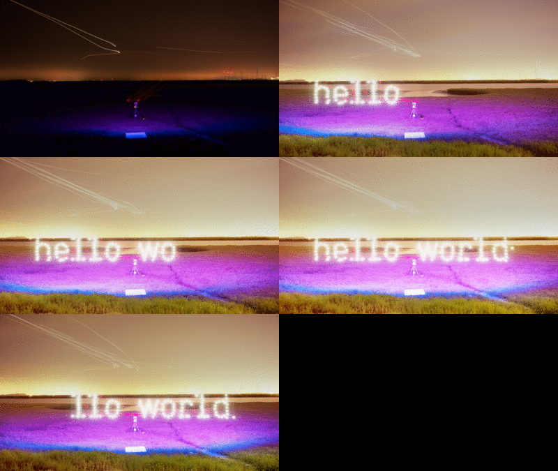
PreNav illustrates their repeatable precision placement capability with the release of the video “Hello World” alongside their announcement, showing the generation of various geometric shapes using points of light from a drone-mounted bulb, and then stop-motion animating them. Oscillating lines and rotating cubes float eerily in indoor and outdoor locations, and the video culminates in the spelling of the words “hello world” in precise typeface, serifs and all.
But the big idea for PreNav isn’t cube animations, it’s industrial applications like wind-turbine and cellphone tower inspection. Historically, this has required personnel to climb high onto the apparatus to get a close look at equipment. GPS systems can’t guarantee the precision needed for those ultra-close looks. PreNav claims that their system does, which allows for close-up photographs of nuts, bolts, labels, fault points, and anything else that previously would need a direct set of eyeballs. And the final output is a 3D render that incorporates those details at a very high resolution, allowing them to be used for inspection purposes.
Companies are already getting on board, too. While the official system, including their own manufactured drones, won’t be available until 2016, PreNav has already created partnerships with various infrastructure companies including wind turbine maker Senvion and cell tower builders One Way Building Services and Spectrum Services. They’ve received $1.2 million in backing so far from Pejman Mar Ventures, Toivo Annus, Drone.VC, Michael Antonov, among others.
With the early announcement of the system, pricing is not yet released, but these industrial application tools don’t tend to come cheap. It’s also good to remember that they’ll be building this as a fully standalone system, not an add-on for existing rigs.
As for the future, CEO/co-founder Nathan Schuett explains that they’ll push further into functional indoor jobs (with no GPS needed, oil tanker innards are now fair game, for example), while agreeing that an aerial camera solution for entertainment would also make sense — he and CTO Asa Hammond developed the idea while working on a mechatronic camera project for Google, and Hammond developed the Bot and Dolly robotics used to film Gravity.
ADVERTISEMENT


