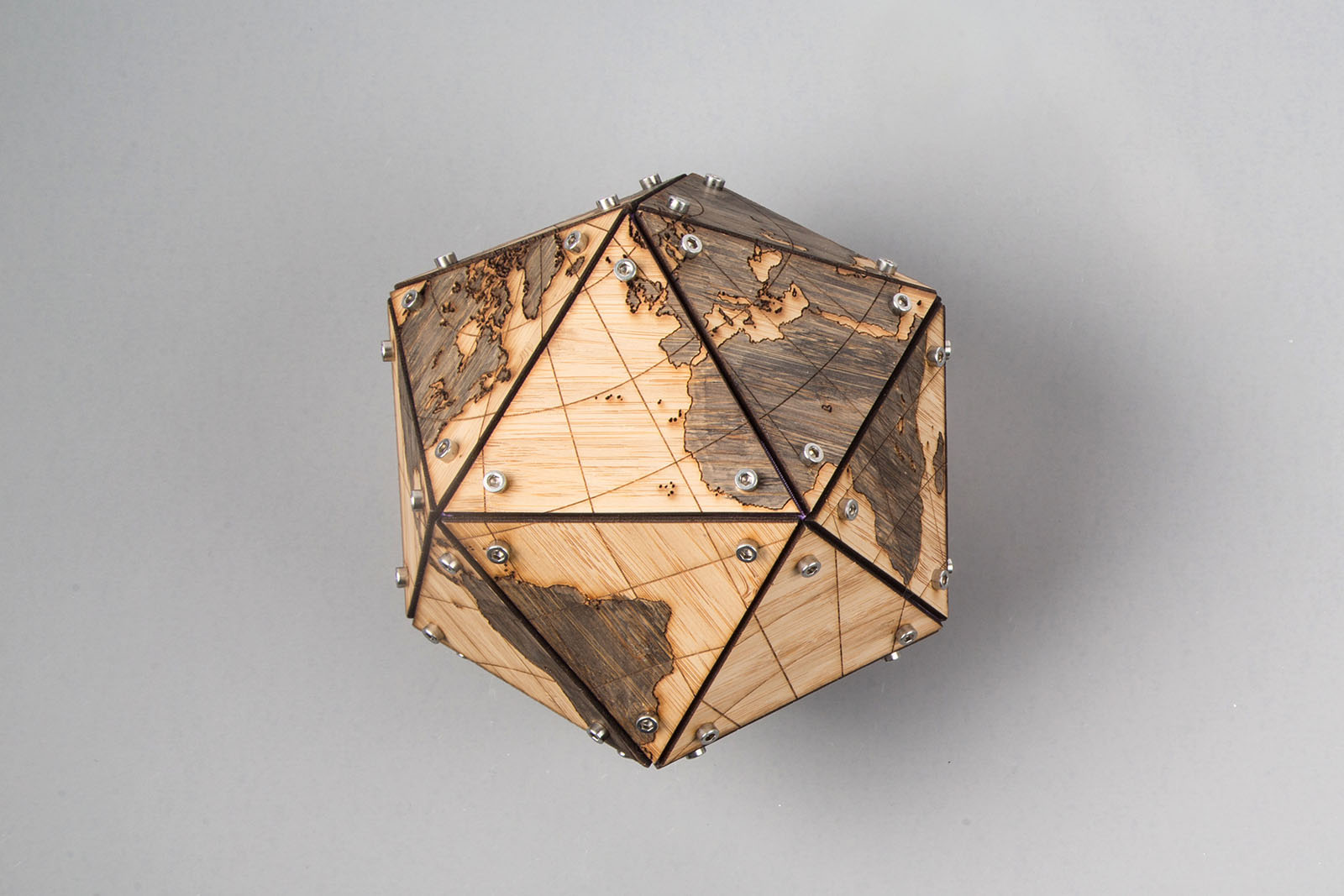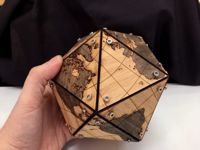

I was playing around with map projections one day and became a tad smitten with Buckminster Fuller’s “Dymaxion” Projection. It’s able to unwrap a spherical map of the Earth onto a flat plane with surprisingly little distortion. The flat Dymaxion map can then be divided up into triangles and folded back into a three-dimensional figure. I started this project because I wanted to make my own 3D version of Fuller’s globe.
What’s a Dymaxion globe, anyway?
When you think of a conventional flat depiction of the world, you’re probably imagining the classroom-mainstay Mercator projection, which dates way back to 1569: a flat grid with the Americas on the left and Europe, Asia, and Africa on the right. Its grid structure was a boon for navigation, but flattening out the map introduced massive distortion, to the point where Greenland is almost the size of Africa and Antarctica is a thin line at the bottom.
The Dymaxion projection, as developed by Buckminster Fuller, creates a flat map of the Earth with less distortion to the size and shape of landmasses. The map also doesn’t have a traditional up and down, and the flat sections can be shifted around to show various configurations of the continents that are all accurate.


