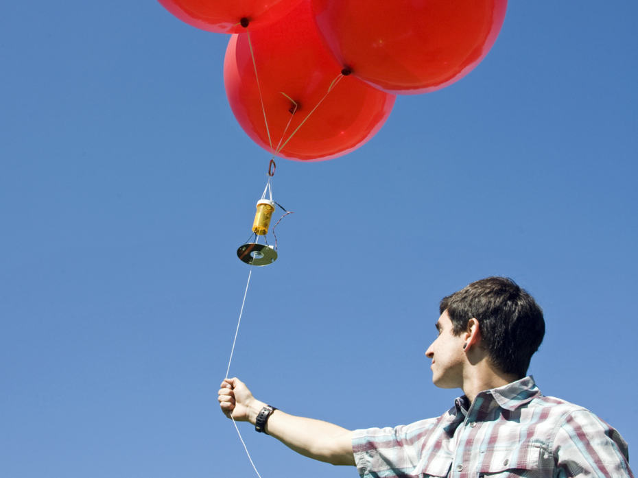
The first time I saw a satellite photo of my house on Google Earth, I expressed shock at the “Big Brother” implications of an all-seeing, commercial eye-in-the-sky. But meanwhile, I was also secretly disappointed with the picture quality and clarity because (Orwellian angst aside) I needed better overhead images for my own use — to help me lay out a new driveway and complete a birds-eye-view CAD drawing of our lot. So I decided to design and fabricate a simple helium balloon “satellite” camera platform, tethered to the ground for ease of control and retrieval, and dedicated to a single purpose: to capture aerial images of my house and surroundings.
Here’s how I completed this project using inexpensive and readily available components — helium balloons on a nylon kite string, a drugstore camera perched on a platform made out of an old CD, and a PICAXE microcontroller housed in an empty pill bottle.


